If Earth had a portfolio, landforms would be its glamour shots-towering mountains, sweeping plains, winding rivers, and dramatic coastlines. These features aren't just pretty; they're the visible results of deep geologic forces, weathering, erosion, and sometimes a little tectonic mischief. Landforms tell the long, slow story of our planet's makeover, one rock at a time.
Understanding landforms matters because they shape ecosystems, influence weather, and even decide where humans build cities. River valleys become cradles of agriculture, volcanic soils boost crops, and mountains create rain shadows that define entire climates. Every cliff, dune, and delta has a role in the grand Earth system.
Our Landforms worksheets help students connect the beauty they see outdoors with the processes that created it. Through maps, diagrams, and scenario-based questions, learners build skills in observation, inference, and scientific reasoning. And because exploration should be rewarding, each worksheet comes with an answer key-so there's no guessing whether you've scaled the peak of understanding.
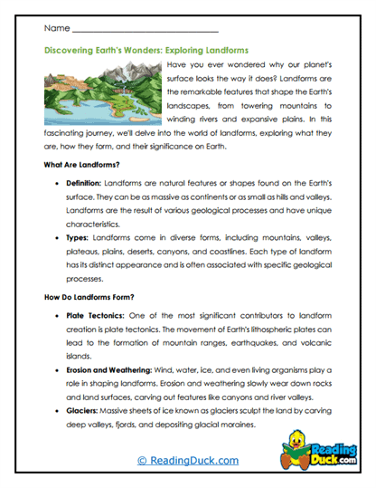
What Are Landforms?
Landforms are the natural physical features found on the surface of the Earth. They include things like mountains, valleys, plateaus, hills, plains, and rivers. Each landform has a unique shape and appearance that makes it different from others. For example, mountains are tall and steep, while plains are flat and wide. These features make up the landscapes we see around us every day and give variety to the Earth's surface.
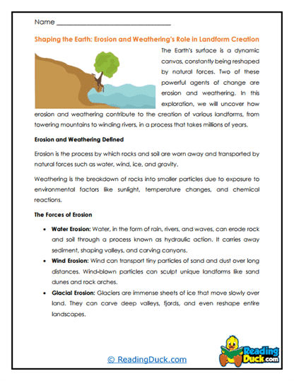
The formation of landforms happens through different natural processes. Some are built up by forces like volcanic eruptions, which create mountains and islands, while others are worn down by erosion from wind, water, or ice. Over long periods of time, rivers carve out valleys, glaciers grind rock into new shapes, and ocean waves reshape coastlines. These processes can happen slowly over millions of years or suddenly during events like earthquakes or landslides.
Because of these processes, landforms are always changing. A mountain that stands tall today may be worn down into smaller hills in the far future, while a river may slowly change its path and create a new valley. Even deserts and sand dunes are constantly shifting as winds blow sand from one place to another. This shows that Earth's surface is never completely still-it is always being reshaped by natural forces.
Landforms are important because they influence where and how people live. Flat plains provide space for farming, rivers supply water and fertile soil, and mountains can provide resources like minerals but also create barriers to travel. They also shape local climates and ecosystems, affecting plants, animals, and human activity. By studying landforms, scientists can better understand Earth's history, how it changes, and how people can live in balance with the natural environment.
A Look At Each Worksheet
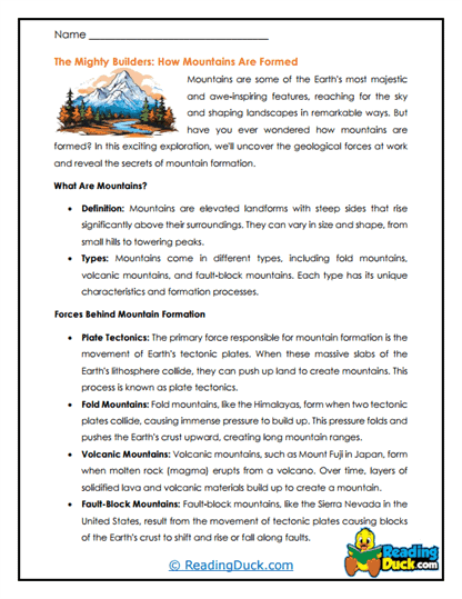
Mountain Majesty
From fold mountains to volcanic peaks, this worksheet breaks down how high ground happens. Students map ranges, compare formation types, and connect them to tectonic boundaries. It's the view from the top, without the altitude sickness.
Valley Views
Carved by rivers or glaciers, valleys tell stories in their shapes. This worksheet helps learners distinguish U-shaped from V-shaped and see how erosion and deposition shape them over time. A gentle descent into geologic storytelling.
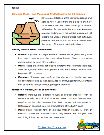
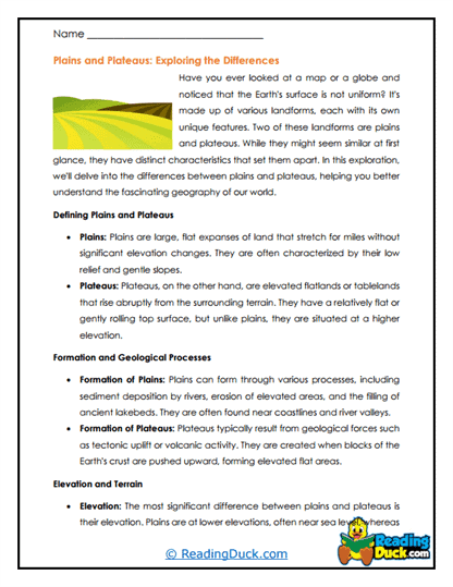
Plateau Perspectives
Flat-topped and full of history, plateaus are elevated stories waiting to be read. Students explore how uplift and erosion work together to create these broad, level expanses. It's high ground with a low drama factor.
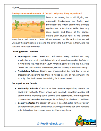
Desert Dunes
Wind is an underrated sculptor, and dunes are its signature art. This worksheet explores dune shapes, migration, and the balance between erosion and deposition. A sandy lesson that won't get stuck in your shoes.
Coastal Cliffs
Where land meets ocean in a sheer drop, you'll find nature's most dramatic stage. Students examine wave erosion, rock resistance, and the slow retreat of cliff faces. A seaward view into geology's patience.
River Meanders
Like a lazy doodle across the land, meanders are rivers at their most relaxed. This worksheet traces how water carves curves, builds oxbow lakes, and shifts over time. Hydrology meets graceful geometry.
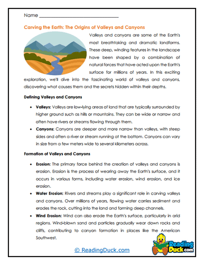
Canyon Chronicles
Deep cuts in the landscape tell tales of persistence. Students learn how rivers, glaciers, and tectonics collaborate to form canyons. It's a vertical journey into deep time.
Delta Designs
When rivers meet the sea, they build instead of carve. This worksheet explores sediment deposition, delta shapes, and ecological importance. It's Earth's way of signing its work at the shoreline.
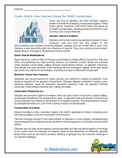
Glacial Landforms
From moraines to drumlins, glaciers leave behind a frozen legacy. Students piece together how ice sculpts and reshapes terrain over thousands of years. A cold case study in slow-motion change.
Volcanic Landforms
Craters, calderas, and lava plateaus-volcanoes leave more than just eruptions behind. This worksheet links eruptive styles to the landforms they create. Expect a fiery take on slow geology.
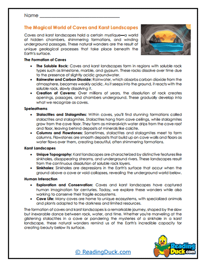
Karst Landscapes
Sinkholes, caves, and disappearing streams are all part of the karst club. Students learn how acidic water reshapes limestone into intricate underground and surface features. A subterranean adventure without leaving the desk.
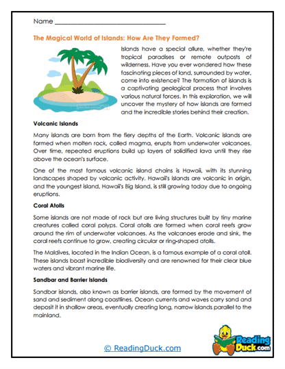
Island Formation
From coral reefs to volcanic hot spots, islands have diverse origin stories. This worksheet charts their creation and role in biodiversity. Geography and geology meet in miniature worlds.
Make sure to bookmark our website now.
Enjoy all our free reading worksheets.
Our materials adhere to the principles of the Science of Reading.